Our Beijing maps cover Beijing's location in China, the Beijing area, attraction locations in the city, the Beijing Subway, and plan views of Temple of Heaven Park and the Forbidden City.
Beijing's Location in China
Beijing is situated at the northern tip of the North China Plain. It is 2 hours by air from Shanghai and 3 hours from Hong Kong.
Beijing Area Map
Beijing Municipality covers an area of 16,410 sq km, including the city districts and the suburb districts. Below map shows main attractions of Beijing suburb districts.
Beijing Tourist Map
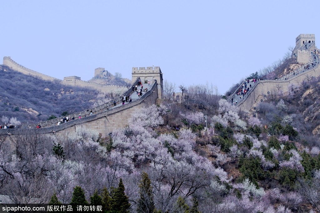
Beijing is an Ancient Capital of China with famous attractions of various types. This map covers the area inside the fifth ring road, showing photos and locations of key attractions (including the Great Wall, the Forbidden City, the Temple of Heaven, and the Summer Palace), and railway stations and airports. Learn more aboutBeijing's attractions.
Beijing Subway Map
This is Beijing's most up-to-date subway map. At present there are 17 lines in and around the city. Each line is coded with a color, and all stations are marked with both English names and Chinese names.
Click the map to see a larger map and find the nearest stations to attractions you want to visit, and the line(s) you need to get there.
Beijing Forbidden City Plan View
Our Forbidden City Plan View shows the layout of the palaces in the Forbidden City.
Beijing Temple of Heaven Park Map
Our Temple of Heaven Park Map shows Temple of Heaven Park's layout, the main features, and paths through it.